


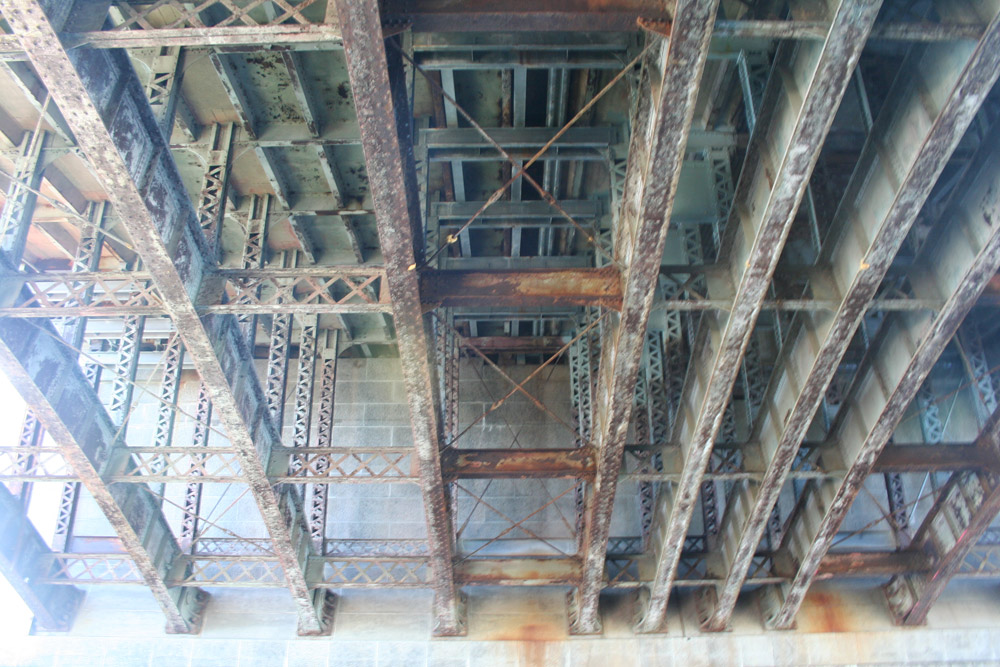

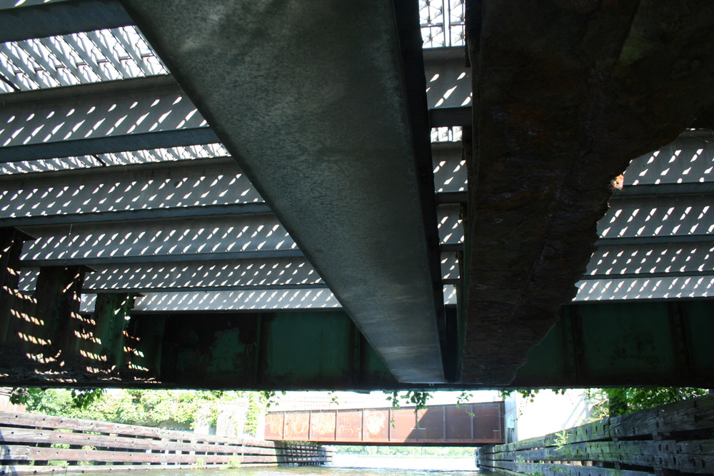
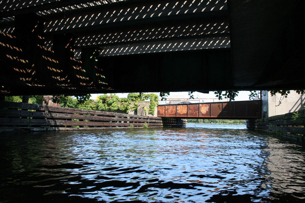
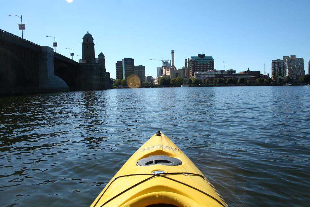
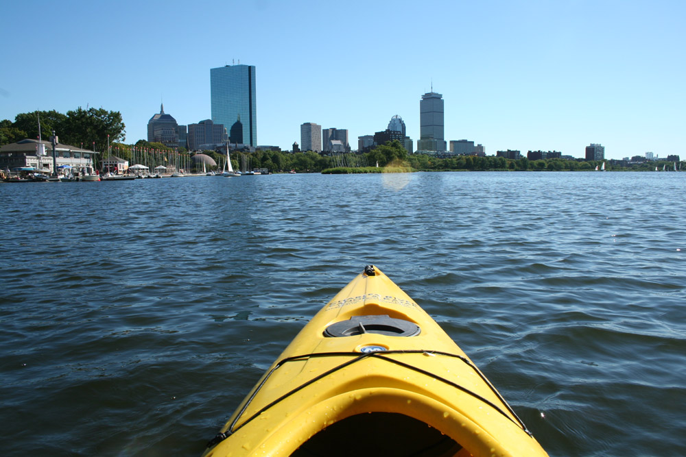
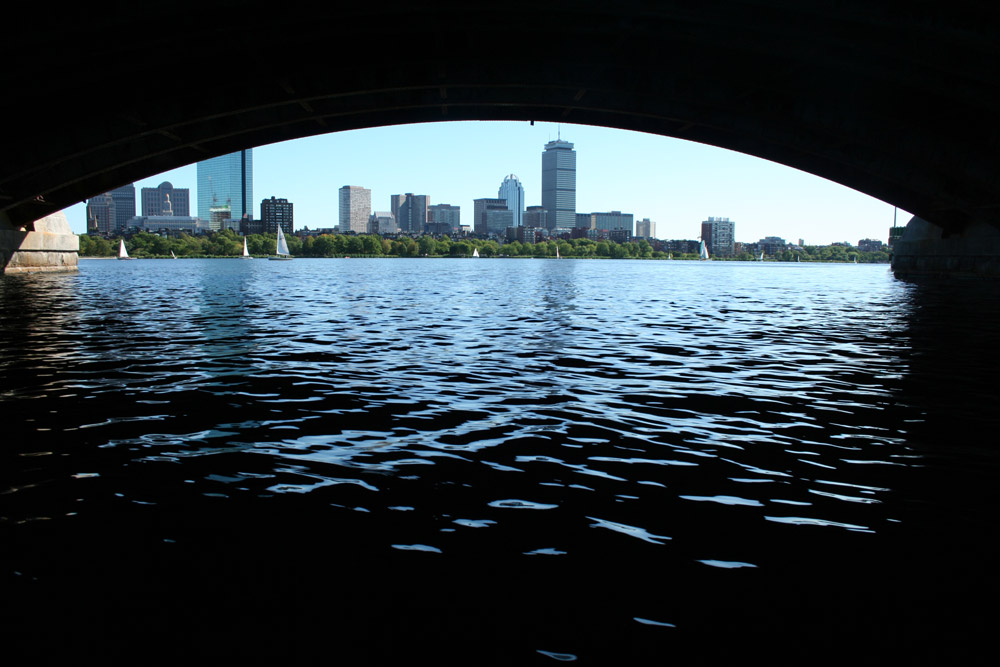
The Charles River is an 80 mi (129 km) long river that flows in an overall northeasterly direction in eastern Massachusetts. From its source in Hopkinton, the river travels through 22 cities and towns until reaching the Atlantic Ocean at Boston. It is also sometimes called the River Charles or simply the Charles.
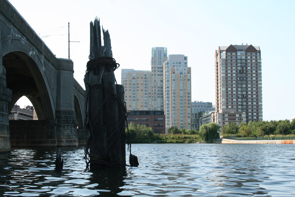
Today’s Charles River basin between Boston and Cambridge is almost entirely a work of human design. Owen A. Galvin was appointed head of the Charles River Improvement Commission by Governor William E. Russell in 1891. Their work led to the design initiatives of noted landscape architects Charles Eliot and Arthur Shurcliff, both of whom had apprenticed with Frederick Law Olmsted and Guy Lowell. This designed landscape includes over 20 parks and natural areas along 19 miles (31 km) of shoreline, from the New Dam at the Charlestown Bridge to the dam near Watertown Square. (source)
–
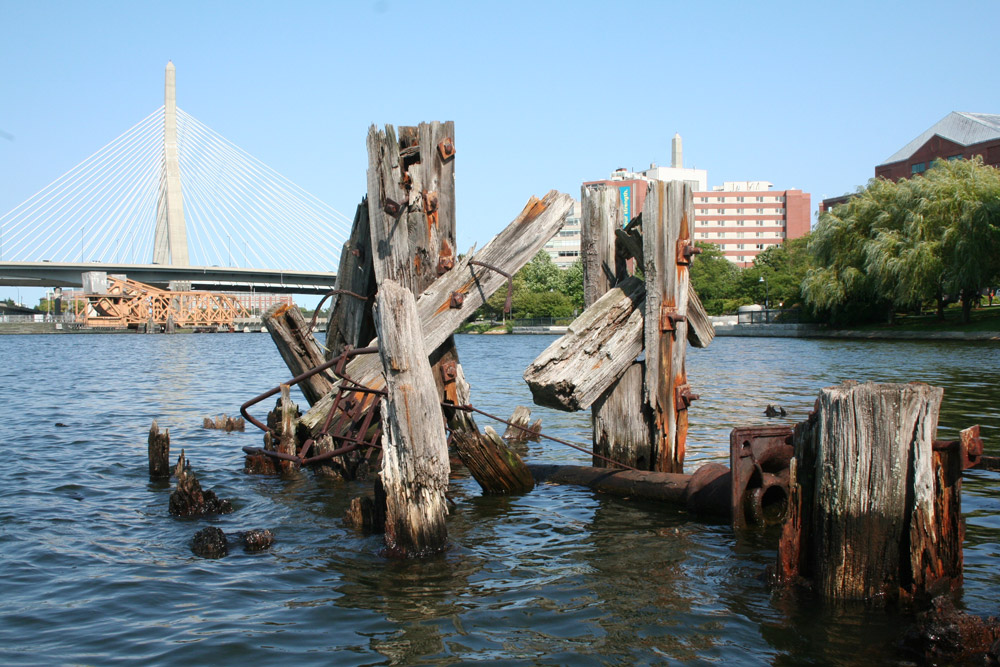
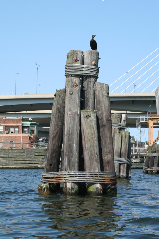
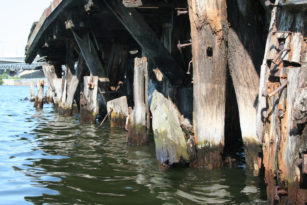
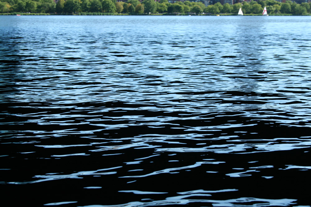
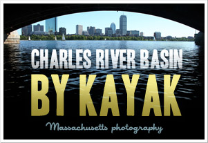
Location : Charles River Basin, Boston MA, New-England, USA.
Photo : (c) Francois Soulignac
Camera : Canon EOS 350D Digital
Around Boston Harbor :